
Photo: Iulian SĂNDULACHE – used with permission
This section focuses on the applied dimension of geomorphology, linking landscape analysis with soil studies, land evaluation, and sustainable land use. It promotes interdisciplinary approaches that integrate geomorphological, pedological, and geospatial perspectives to understand land use dynamics and environmental change.
Proposed topics:
- Present-day morphodynamics in the extreme events and regional environmental changes context, mapping, modeling and analysis.
- Palaeogeomorphology and present-day morphodynamics – evolutive model development based on geological, geophysical and laboratory data.
- Soil cover –land degradation, geomatic applications in scope of land bonitation and soil resource conservation.
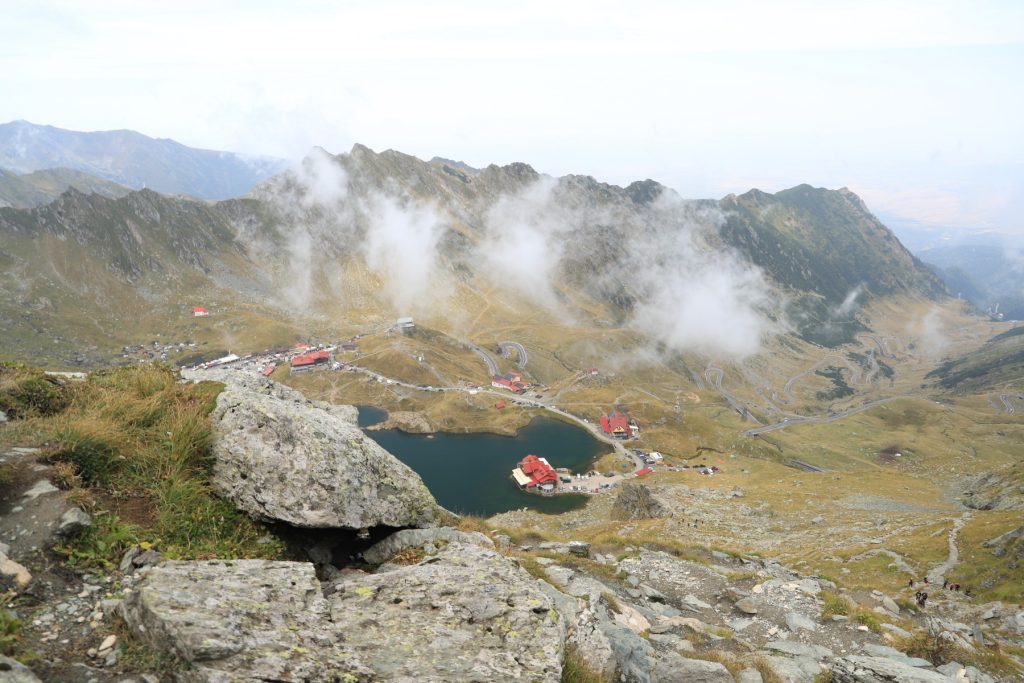
- Geomorphosites and geomorphic systems. Scientific and cultural value of landforms in tourism and spatial planning.
- Hazard and risk model development, between terrain data, GIS analysis and validation of results.
- GIS models for natural hazards and risk – from theoretical approach to model implementation and solution management.
- Models in Earth observation – recent imagery, analysis techniques, results, validation and practical issues.
- Digital cartography and virtual reality modeling – between traditional and non-conventional – data sources, methods, visualization techniques and social impact.